
Point Cloud(LiDAR, RADAR)
Learn about Point Cloud resources and the labeling types that are supported.
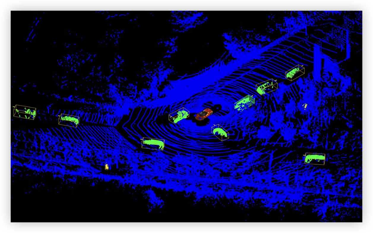
Point Cloud is a method to express 3D area information as a collection of area points collected by LiDAR or Radar.
It is available to label objects in 3D space using a 3D Cuboid.
Labeling types
If you have any other inquiries, please get in touch with us at help@aimmo.ai
Updated about 2 years ago
Did this page help you?